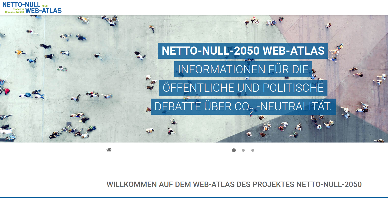
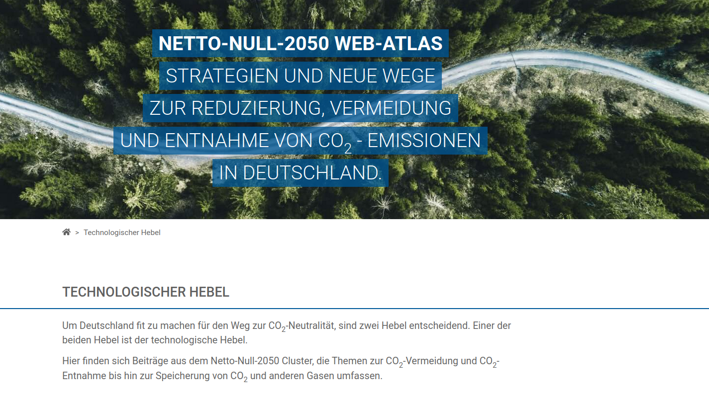
Net Zero Web Atlas
The requirement
That is what we have implemented
- Net Zero 2050 is driving public and political debate on carbon neutrality at various levels
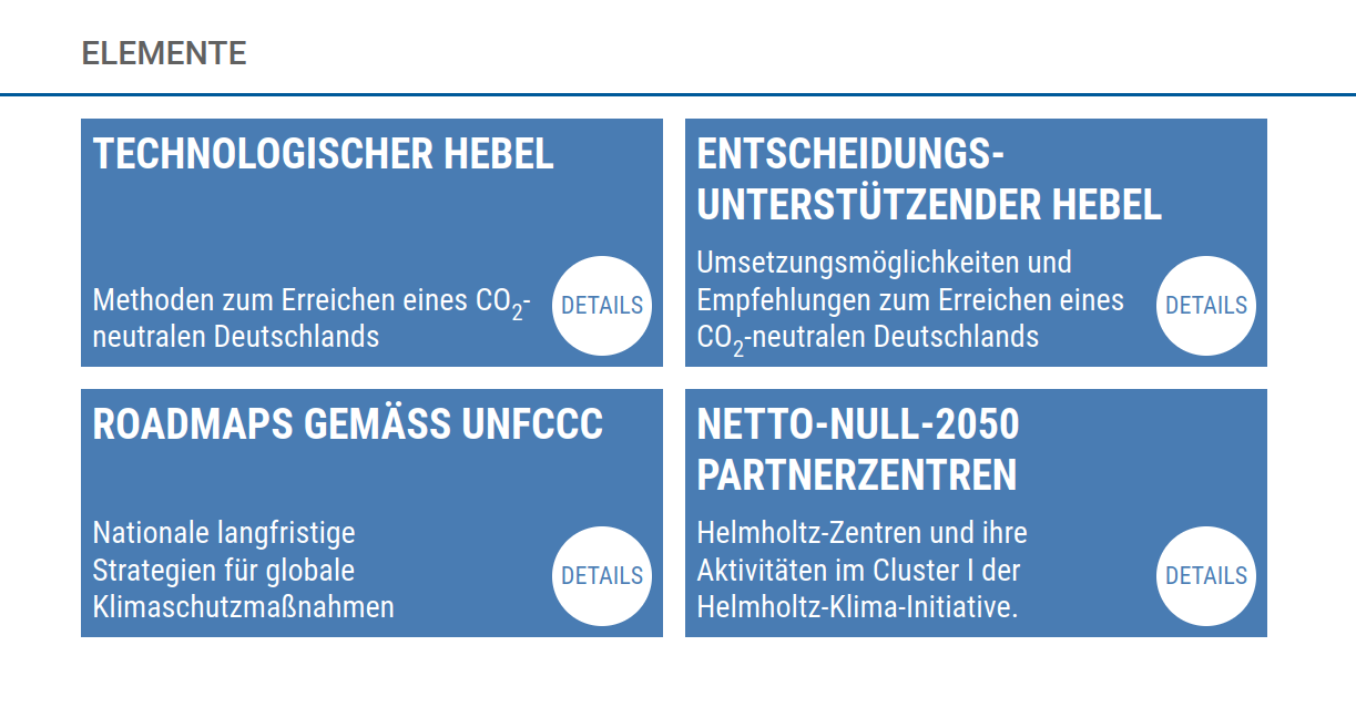
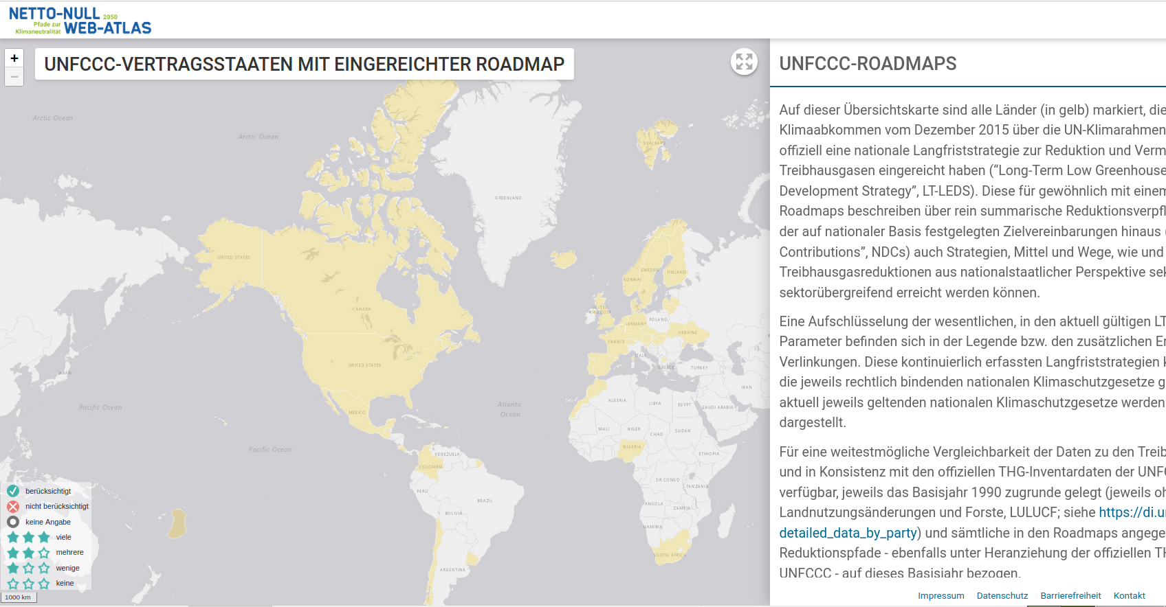
- Climate roadmaps developed worldwide are easy to find and presented in a clear manner
- Contributions are map- and story-based to support different approaches to information gathering
- Extensive background information and a glossary are available
- The contents of the atlas are presented in such a way that users can select the depth of information and thus find the information relevant to them quickly and easily
Monika Kerschbaumer
Project Manager
Our Partners:

Wolfgang Eibner
Head of Software Development